 | |
| Photosphere showing Statendam in Hilo, Hawaii - view in Google Maps at https://goo.gl/maps/VHbZGSRETNA2 |
The easiest way to create a photosphere is with an Android cell phone after downloading the Google camera app. You can also use a regular camera but it takes more work stitching all the photos together into a panorama and processing the results through another app. There's an excellent tutorial online at geojournalism.org
 |
| Taken at the entrance to Lihue harbour in Kaui, Hawaii - see https://goo.gl/maps/LbGzYr5a28R2 |
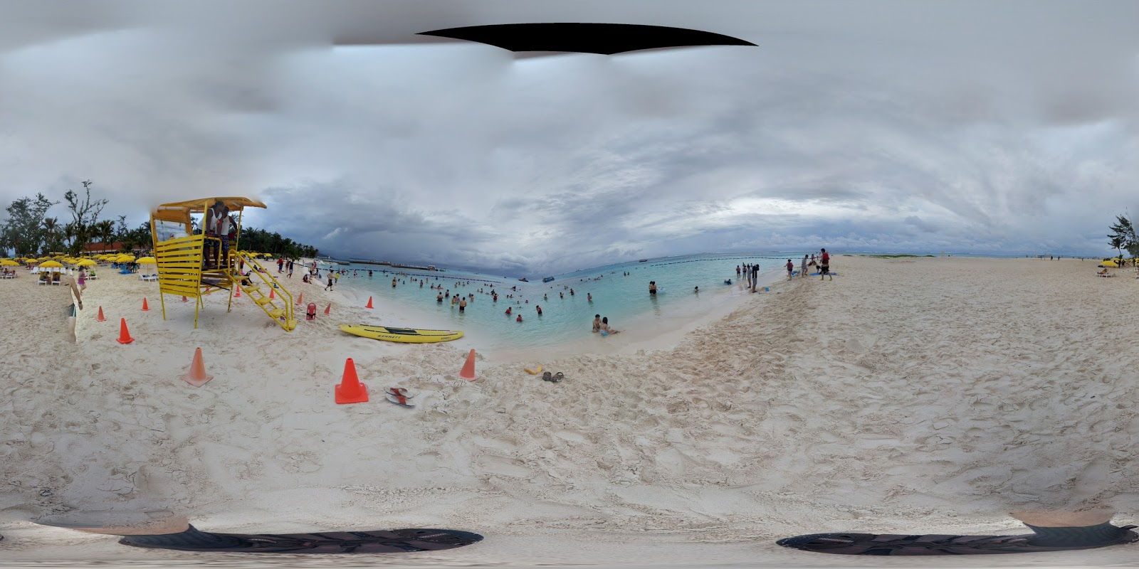 |
| This was taken at Managaha beach, Islet Managaha, Saipan... it may not be accepted to Google Maps because of the missing piece of sky |
Directions for uploading photospheres are available on the Street view site. One thing I've noticed with Google -- often unfortunately! -- is that they change things frequently... by the time you read this they may have a whole new approach to all of this... at which point you might have to search for the most recent information.
You can see fantastic photospheres that people have taken all across the planet by visiting the Street view site.
